Arusha Map is an important tool to navigate the park's diverse landscapes and plan according to their Tanzania Safari Holidays. Having a map helps to identify the best areas for wildlife spotting and hiking. It also assists to navigate the park's trails and roads safely. Many Tanzania Safari companies provide maps as part of their tour packages. But, you can also obtain maps at the park's visitor center or entrance gate.
Arusha National Park is located in the Arusha Region of the Northern part of Tanzania. This Tanzania National Park is a 35 km drive away from the town of Arusha. This makes it one of the most convenient and easily accessible parks in the northern circuit safari.
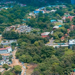
The Arusha National Park is just a few kilometers away from the northeast of Arusha. The main gate of the national park is 25 km east of Arusha town. The park is also 35 km from Kilimanjaro International Airport (KIA) and 58 km from the town of Moshi.
3.2500° S, 36.7500° E
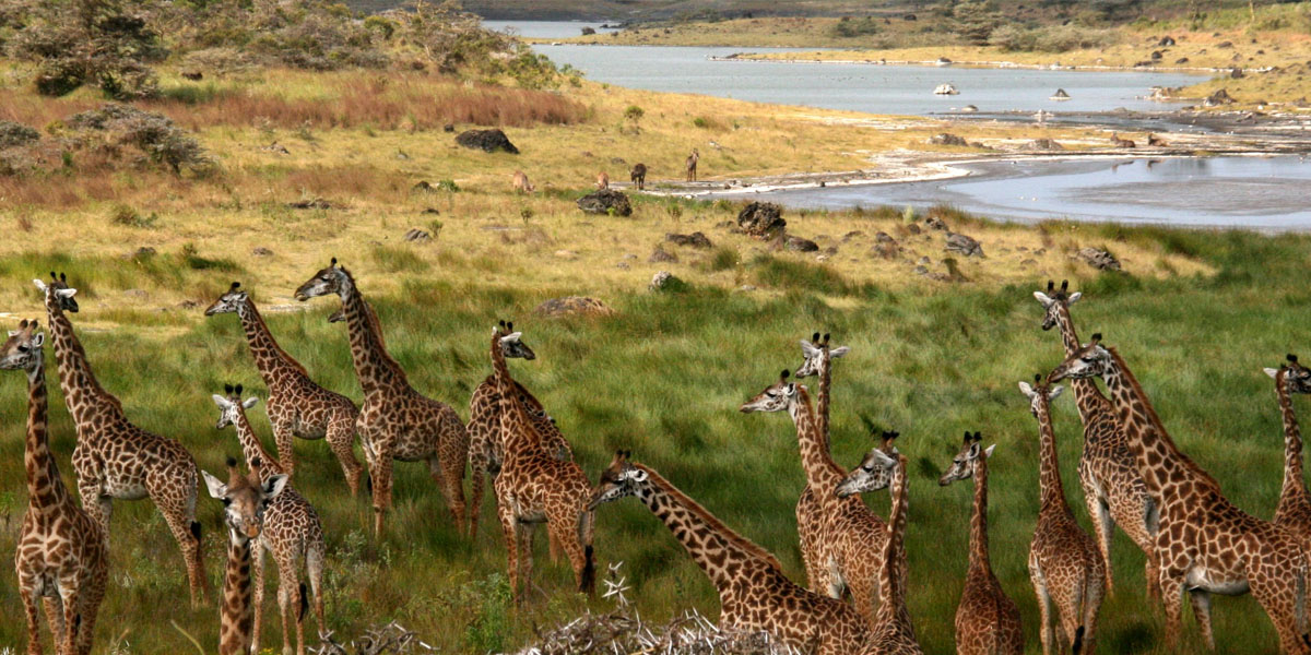
Arusha National Park is characterized by diverse topography and landscapes.
Arusha Location Map suggests that the park is situated in the foothills of Mount Meru, and thus provides stunning views of surrounding landscapes. The city of Arusha is a 25 km distance to the south of Arusha National Park.
To the north of Arusha National Park lies the highest mountain in Africa, Mount Kilimanjaro. To the south of the park, Tanzania’s popular town of Moshi is located. The town is popular for its coffee plantations and scenic views of Mount Kilimanjaro.
Another town named Usa River situated to the south of Arusha National Park. There are numerous lodges along the road leading up to Momella gate. To the west of Arusha National Park is the Great Rift Valley. It is a massive geographical feature that stretches for thousands of kilometers across the continent. This valley is home to all major national parks and wildlife reserves.
In addition with the help of the Arusha Map, visitors to the park can understand different areas and trails. This help visitors plan their activities and explore different regions of the national park during Tanzania Safari Holidays.
Arusha National Park is only half an hour from Arusha town by tarmac road.
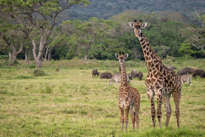
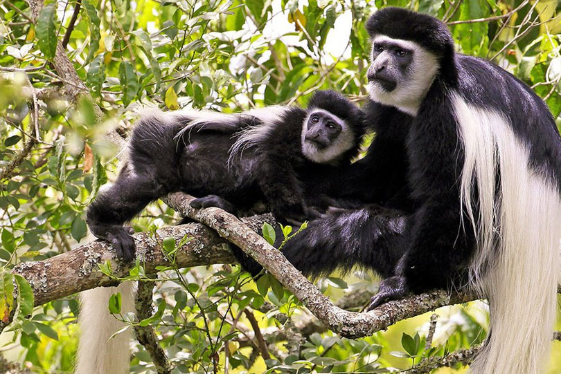
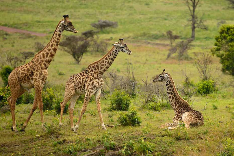
Arusha Travel Guide is all bout to know Arusha National Park's wildlife, best time to visit, climate and more!.
Will enlighten you through the best of Tanzania’s sights and help you experience the country’s rich culture and history.
Plan a truly bespoke journey with our Travel Designers today.

Before you book and pack those bags, check our easy-to-use travel restriction finder for your destination’s COVID-19 regulations and safety requirements.
.png)
We specialize in tailor-making your tour to suit your tastes and budget. We can customize everything from routes to accommodation to optional activities.

Our new policy that outlines how we will continue to keep you safe and healthy on our tours and make you feel even better about choosing to travel.